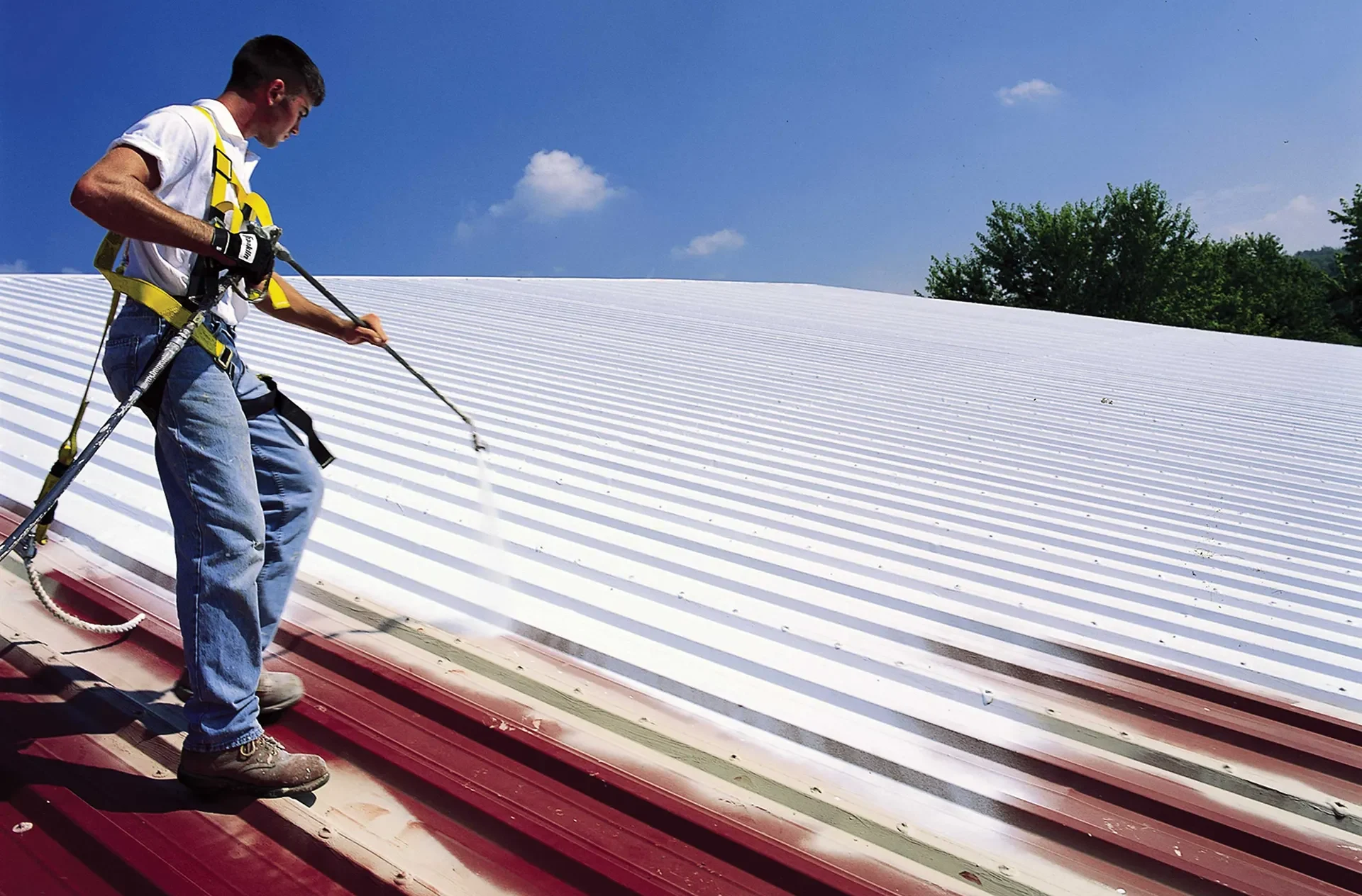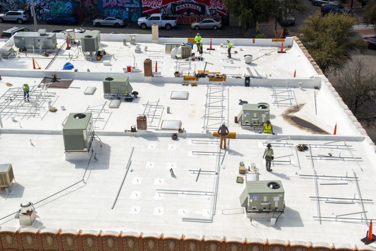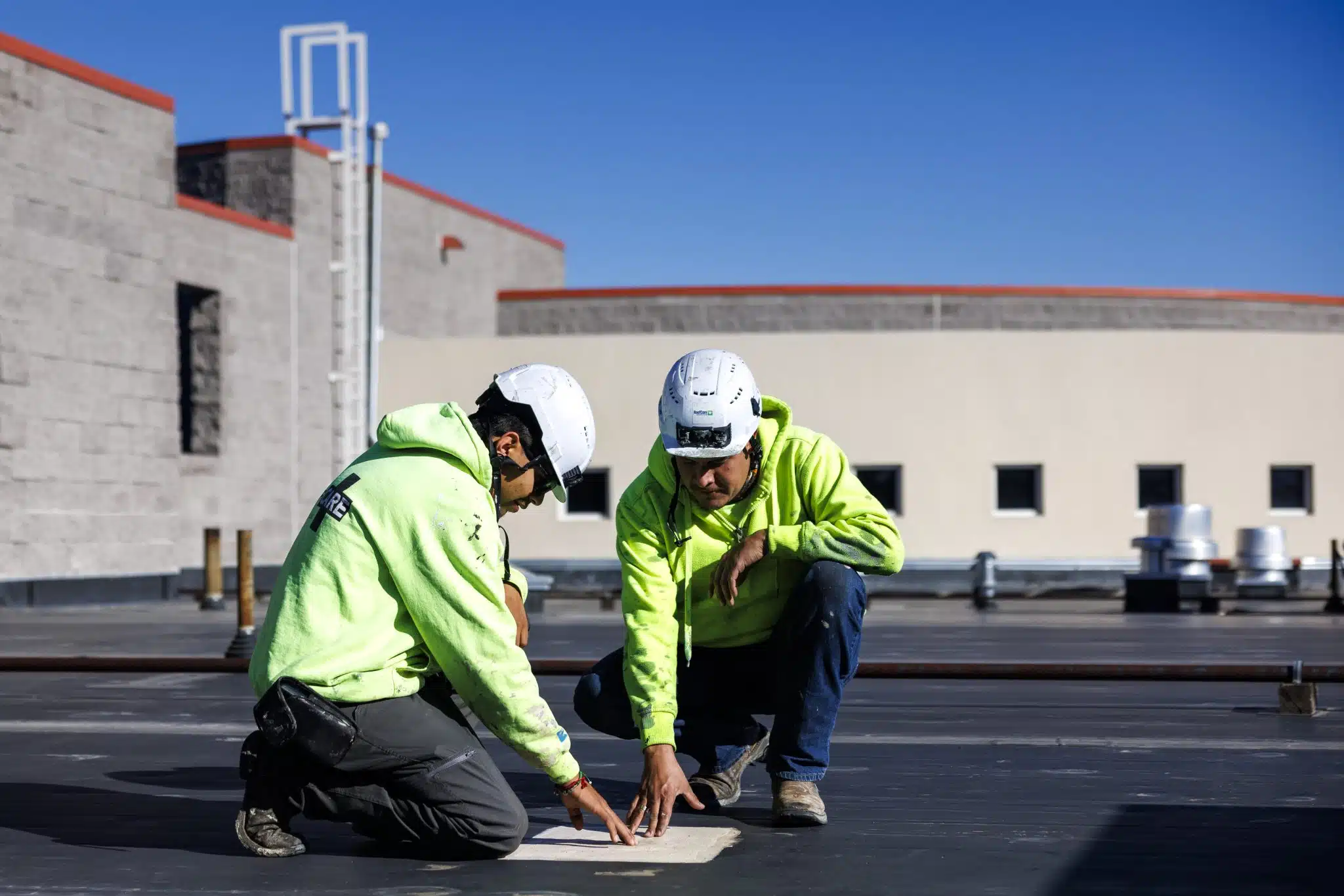
Plenty of commercial roofs in Dallas are too large to inspect honestly by walking them. The fulfillment and distribution buildings out in the Great Southwest Industrial District, the warehouse product running along I-35E and I-20, and the older flat-roofed plants tucked into West Dallas and the Trinity industrial pockets can put several hundred thousand square feet under a single membrane. A two-person crew can burn most of a day crossing a roof that size and still walk past the part that is failing, scuffing the membrane and backing out fasteners around every unit as they go. Aerial inspection gives us a complete, even picture of a roof like that in a fraction of the time, and it does it without putting a single boot on a surface whose condition we have not yet confirmed.
The point is not glossy overhead photography. The value is in pairing high-resolution visual imagery with thermal infrared, captured on a disciplined grid across the entire roof, so we can show where water is getting in and, just as important, where it has already pooled inside the assembly where no surface inspection would ever find it.
We fly a planned grid at a fixed altitude so coverage stays even from parapet to parapet, then we overlay two distinct imaging passes on the same roof.
The optical flight documents membrane surface condition, seam and lap integrity, flashing at curbs and parapet walls, drain and scupper condition, standing-water patterns, and the state of every rooftop unit and penetration. Every frame is GPS-tagged, so instead of describing a defect vaguely we can drop a property manager sitting across town onto the exact coordinate where we found it. That precision changes how fast a building owner can understand and act on what we report.
Infrared is where aerial inspection earns its place on a large low-slope roof. Wet insulation stores the day's heat and gives it up more slowly than the dry insulation around it, so a thermal scan flown after sunset during the cool-down window lights up saturated areas as warm signatures glowing against the cooler dry field. One survey tells us how much of the roof holds trapped moisture and exactly where it sits, and that single finding usually decides whether an owner is looking at a contained repair or a full tear-off. Mapping moisture across a roof this large by hand is not realistic; the consistent altitude and image overlap a drone holds are what make the moisture map trustworthy in the first place. We always back the infrared flags with a handful of physical core cuts so the report rests on verified conditions rather than a thermal guess.
Commercial drone work is regulated, and we operate under FAA Part 107 with a certificated remote pilot in command on every flight. Dallas airspace is genuinely complicated. Love Field sits right in the heart of the city, DFW International looms just to the west, and controlled airspace with a patchwork of altitude ceilings covers much of the metro. We check the airspace classification for each address, pull LAANC authorization wherever a flight falls inside controlled airspace, and keep the aircraft within visual line of sight throughout. On the ground we coordinate with the property to keep people clear of the flight envelope, and we stand down for wind or weather that would compromise either safety or image quality. An operator who shortcuts any of this is exposing the building owner right along with himself.
An aerial survey is one of the cheapest ways to take the risk out of a re-roofing project before it ever goes out for bid. Accurate roof-area measurement, a full count and location of penetrations and curbs, and a documented record of existing conditions all come off the same flight. When the specification and drawings are built on what the roof actually is rather than on assumptions and a decade-old as-built, the crew up top hits far fewer surprises, the requests for information drop, and the change orders that eat a budget mostly disappear.
Dallas sits squarely in hail and straight-line wind country, and the metro absorbs severe spring storms nearly every year. A single cell can wreck a commercial roof in minutes, and a large multi-tenant or industrial roof often takes damage no one can see from the parking lot. Right after an event we record hail-impact density across the entire field, wind-lifted or peeled-back edge metal, opened seams, and damage to rooftop HVAC units and their flashings, all from a vantage that catches patterns a ground walk would miss. Because we can deploy quickly, the documentation reflects the damage as it happened, before emergency tarps, temporary patches, and the next round of weather muddy the evidence.
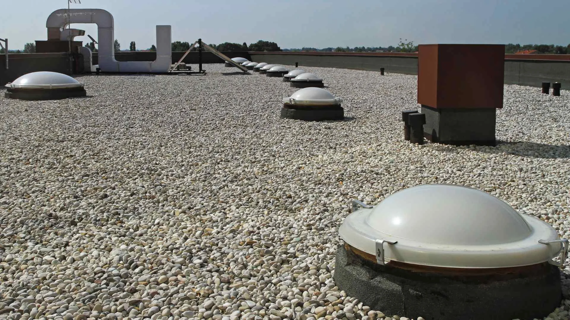
Aerial inspection delivers the most on big low-slope roofs: warehouses, distribution centers, manufacturing plants, retail centers, office parks, and multi-building campuses where covering every square foot on foot is slow and incomplete. On a small footprint or a steep-slope roof, a hands-on inspection is fast and thorough and a drone adds little but expense. As a working rule, any commercial roof past roughly ten thousand square feet that needs a real condition assessment is better served by the aerial and thermal approach than by a clipboard and a ladder.
If you manage large roofs anywhere in the Dallas area and want a complete, documented read on their condition, or you have just taken a storm and need claim-ready documentation before the damage gets disturbed, reach out to schedule a flight. We will confirm the airspace, lock a date, and hand you a report you can actually make decisions from.